Never lose sight when you're on-site

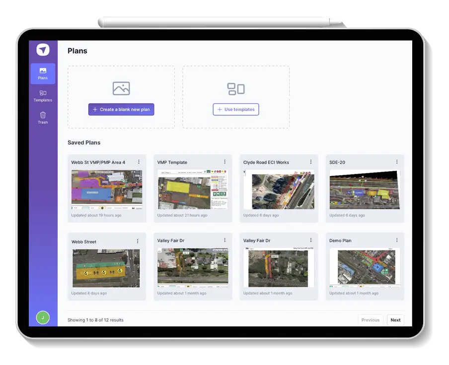
SitePilot enables teams to efficiently mark up and share maps, to communicate safety information in dynamic work environments.

Image of a map on a computer and smartphone
Watch a video demonstration of the platform at work
Show me

Simplify mapping & safety communication

With our personalised onboarding, we set up accounts, import your data, so your team can start mapping and sharing.

Import Data

Import drone survey data, or use built-in satellite imagery to create shareable maps of your work site.

Create Work Areas

Create project boundaries to share sections of your project with team members and stakeholders.

Markup

Annotate your maps with a simple, intuitive markup toolkit complete with a safety signage library.

Publish & Share

Publish to static QR codes & URLs, export or capture published maps via API.

SitePilot is the difference between guessing and knowing

Join leading construction companies using SitePilot to keep stakeholders informed in the most demanding environments.

Spend minutes updating maps, not hours

SitePilot is built with simplicity in mind, and highly accessible to users of any skill level

Creating maps

Create and edit VMPs on your computer or tablet, then publish in seconds for users to access updates.

Managing your work site

Access your project areas quickly from the Project Overview, along with version history of all your published maps.

Share with your team

Link project areas to static QR codes, share a URL to your maps, or link SitePilot exports to other apps via API

On-site positioning

Users can view markups on an interactive map, and track their position on-site using GPS - no app download required.

Request Demo

Drop your details below and we'll get in touch to arrange a demonstration of the tech. Don't worry - we won't spam you.

Read our Privacy Policy
Thank you! Your submission has been received!
Oops! Something went wrong while submitting the form.